RECOMMENDED VILLAGES TO VISIT IN SOUTH OXFORDSHIRE
|
|
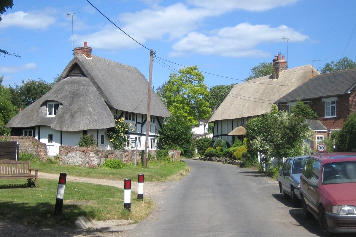
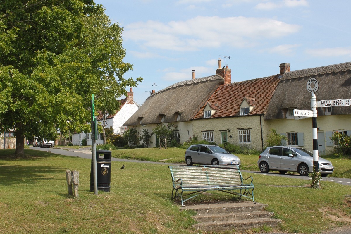
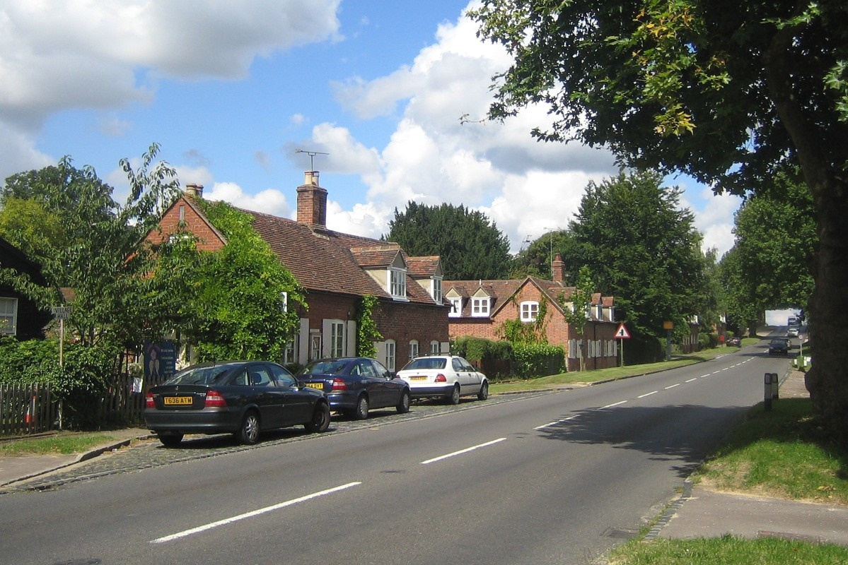
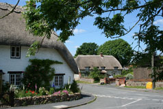
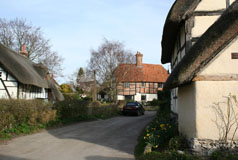
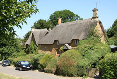
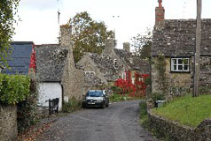
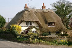
Dotted along the narrow village streets are picturesque black and white thatched cottages. There are many houses still standing which date back to Tudor times, or even before. Brightwell and Sotwell were originally two separate villages and only combined into one in 1948. There are several ways to get to the village from the main road, and if you use High Road you may well find you are back on the main road again without seeing much of the village! Best to use the first signposted route whether you approach from Wallingford or Didcot! Brightwell-cum-Sotwell lies just off the A4130 a couple of miles west of Wallingford in the shadow of the Sinodun Hills. |
|
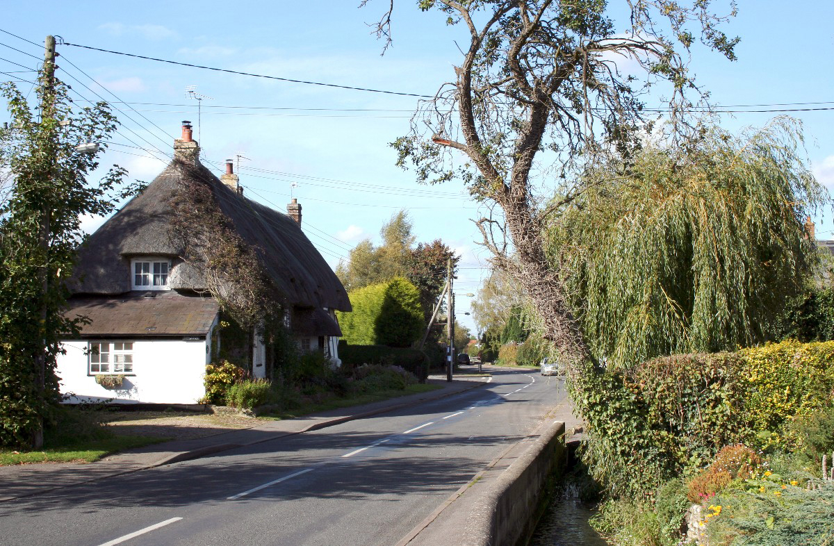
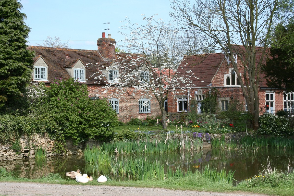
A small brook runs along the High Street for the length of the village and forms an attractive feature, complete with ducks. Many of the properties along that side of the road have individual bridges across the brook for access. Apparently the brook is man-made and was created in the 19th century, forming an artificial loop to the Chalgrove Brook. The best part of the village for the visitor is undoubtedly the High Street although in some other places there are still some indications of the original village, especially near the church. Chalgrove is approximately three miles north-west of Watlington along the B480. |
|
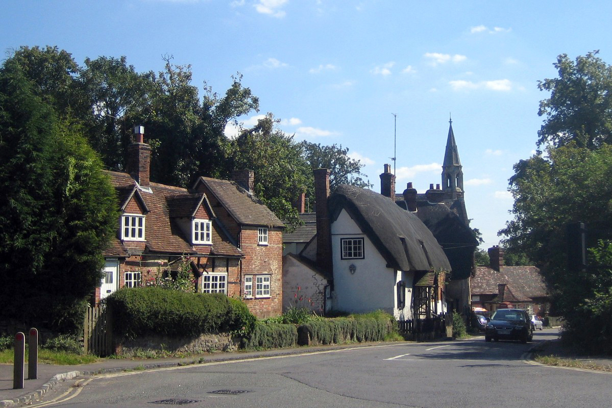
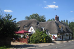
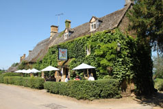
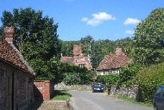
The village and The Barley Mow were featured in Jerome K. Jerome's book Three Men in a Boat, and in 1885 Dickens's Dictionary of the Thames said of Clifton Hampden, 'Clifton Hampden, this picturesque little village, is situated at the foot of a bold bluff, which rises abruptly from the somewhat flat country around. The cliff is surmounted by the church and vicarage, and is clothed with luxuriant trees down to the water's edge. The village, a pretty collection of old-fashioned cottages, all of which are bright with flowers ...' This description could have been written today. The old fashioned cottages are still there, many of them listed, and the whole makes for a very attractive scene well worth a visit. Clifton Hampden is about four and a half miles south-west of Abingdon on the A415, and about one and a half miles north of Long Wittenham. |
|
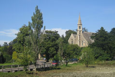
On the edge of the village is the site of an Iron Age settlement and also the site of the Roman town of Dorcic. Apart from those attractions there is also Dorchester Abbey, which was a former Augustinian abbey. The Abbey is now just the parish church but it does have a tea room and museum for the visitor to see. All in all, Dorchester is well worth a visit! The remains of the Iron Age settlement are evident by the low hills known as the Dyke Hills which lie close to the river at the edge of the village. Dorchester is about 5 miles north-west of Wallingford. |
|
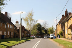
According to legend, the Great Fire of Hagboume in 1659 destroyed cottages that stretched over the fields all the way to nearby West Hagboume. The Great fire certainly happened but the legend has been proved a myth as the fire was restricted to the part of the village east of St. Andrew's Church, and away from West Hagbourne, and Domesday records prove that the two villages were actually never linked and have always been separate communities! In fact had they been linked they would have been a very large settlement indeed, most unusual for the 15th century! East Hagbourne lies between Didcot and the Berkshire Downs, about a mile south of Didcot on the B4016. |
6 Ewelme
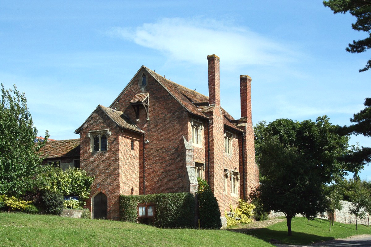
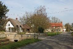
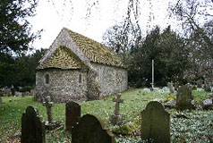
From the west door of the church a covered passage leads to the Cloister - a square courtyard surrounded by thirteen red brick almshouses which were established in 1437. The almshouses are the oldest brick buildings in this part of the country. Next to the Cloister is Ewelme school which was founded originally as a superior grammar school. Now the school is a state primary school and is the oldest school building in the country to be in use as a state primary school. The School is a fine rectangular red brick building two storeys high. The upper classroom has magnificent roof beams, probably made from ship's timbers and has mullioned windows supported by corbels. The Ewelme Brook was at one time used extensively for the cultivation of water cress. The Ewelme water cress beds are now owned and managed by the Chiltern Society as a local nature reserve. They run the whole length of the village and are accessible from the road in places. Ewelme is just south of the B4009 Benson to Watlington road about 5 miles east of Benson. |
7 Goring
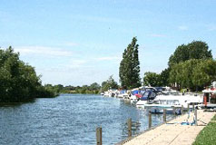
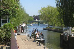
Next to the bridge is Goring Lock and weir, and from the bridge you can look down and watch the lock in use. By the bridge also is the old mill but this is no longer in use. It is thought that Goring Lock was build by the local miller in the C16 to provide a head of water to drive the water wheel. High Street can be very busy with traffic, but some of the side roads are quieter and certainly worth exploring. Goring is about 5.5 miles south of Wallingford. |
|
Great Milton is approximately 10 miles south-east of Oxford just off the A329 and about a mile and a half from junction 7 of the M40. |
|
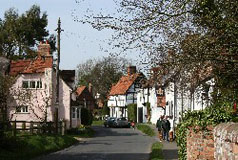
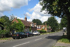
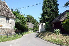
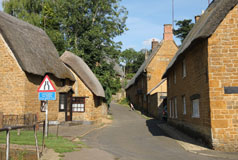
High Street is the main attraction and frankly there is little more to see. Along High Street there are many lovely period buildings including, on the north side of the High Street, Cruck Cottage which dates from the C14 which is believed to be the oldest house in South Oxfordshire. Originally this was a single storey, open hall house, without a chimney, which was added during the reign of Elizabeth I. As well as Cruck Cottage there are six other cruck-framed buildings in village which may be 600 or more years old. The western part of the High Street is relatively traffic free, and down there is Pendon Museum which receives many visitors each year. The museum is a delightful cross between a model village and a model railway and is well worth a visit. Long Wittenham is about two miles north of Didcot. |
10 Marsh Baldon
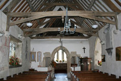
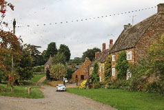
St. Peter's Church was originally built by the monks from Dorchester. The tower has an unusual design with a square base that changes to an octagon at belfry level. It is thought it was designed in this way to support a steeple which was never built. To walk around this village is rather like going on a country ramble, everything being round the edge of the somewhat large Saxon village green! The Baldons are a group of small settlements, one of the largest being Marsh Baldon. The Baldons are situated between the A4074 and the B480 about 4 miles south-east of Oxford. |
|
The village was originally inside Nuneham Park and consisted of pretty white cottages scattered around a piece of water and shaded by a number of fine trees. However in 1760 the whole village was rebuilt and relocated on the main road because the 1st Earl of Harcourt thought the existing medieval cottages spoiled the view from his new house and landscaped park. Just south of the village is the Harcourt Arboretum on part of the former grounds of Nuneham House. The arboretum is part of the tree and plant collection of Oxford University's Oxford Botanic Garden. It includes ten acres of woodland, and a thirty-seven-acre wild-flower meadow. Nuneham Courtenay is 5 miles south-east of Oxford on the A4074. |
12 Stoke Row
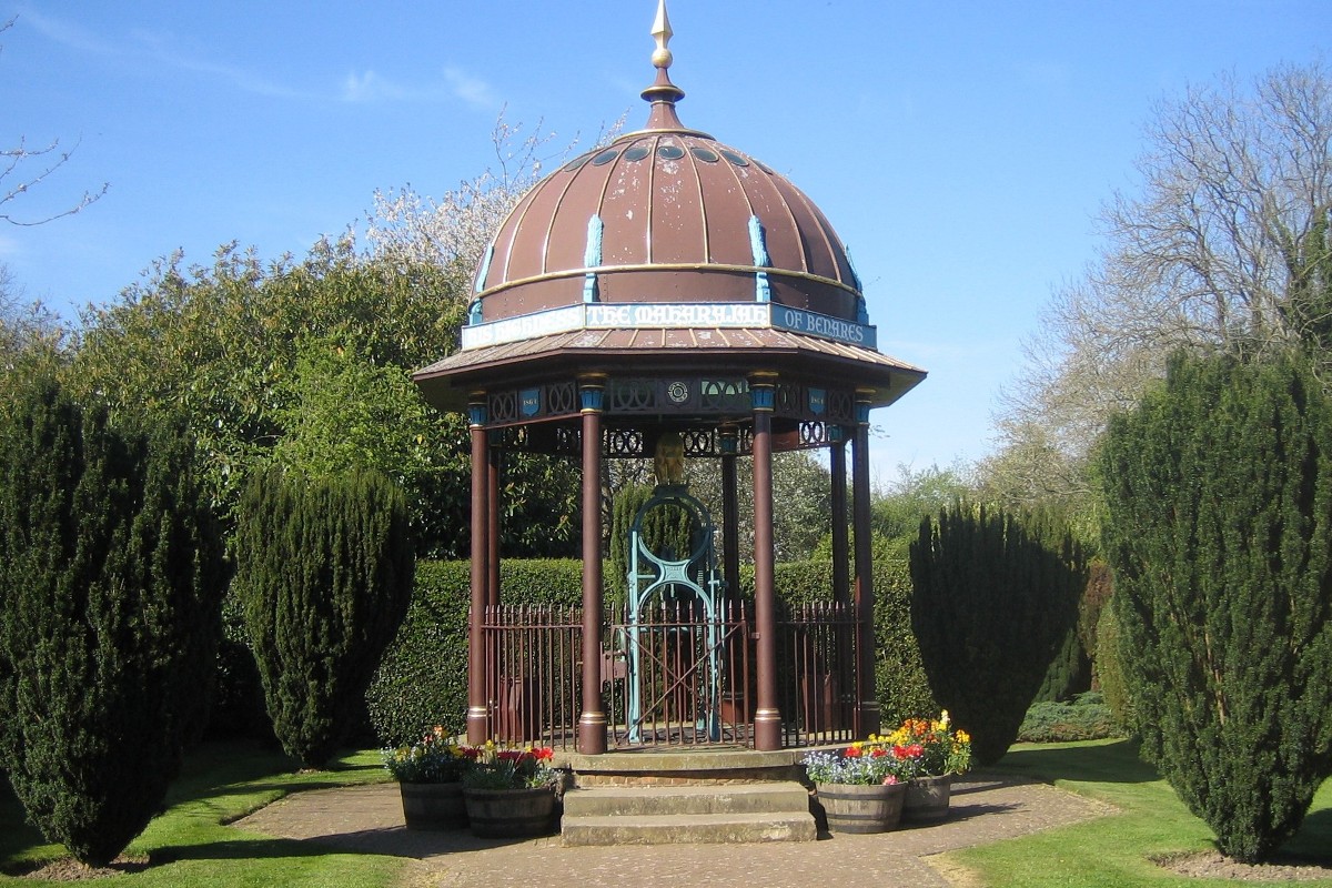
Stoke Row is at the highest point of the southern Chiltern hills between the Wallingford to Reading and the Wallingford to Henley roads.The village is mainly along the 'main' road linking Sonning Common and Nuffield. The parish church is at one end of the village and the pub, the Cherry Tree, and a chapel are at the other. At the pub end there are some reasonably attractive older buildings, whereas at the church end most of them appear to be newer. In the centre is a village store and a garage, as well as the Maharaja's Well. Next to the well is a cherry orchard. Stoke Row is about 3 miles north-west of Sonning Common. |
13 Watlington
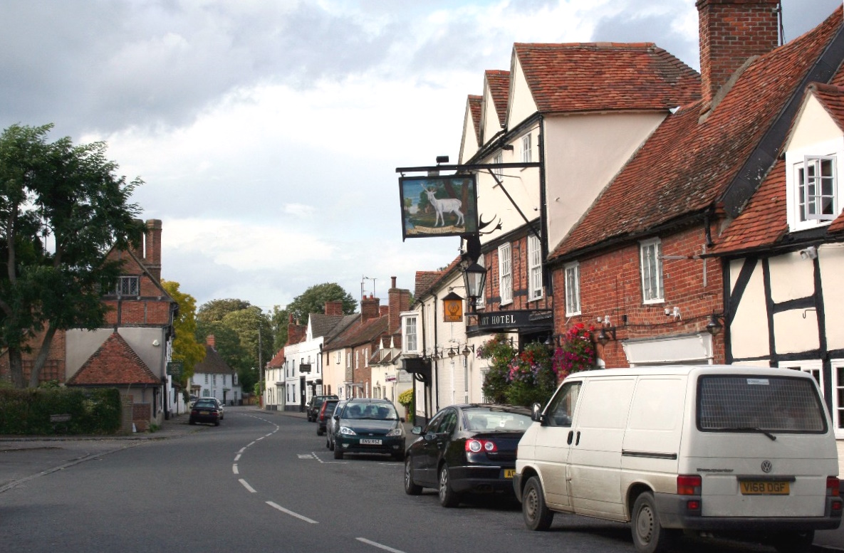
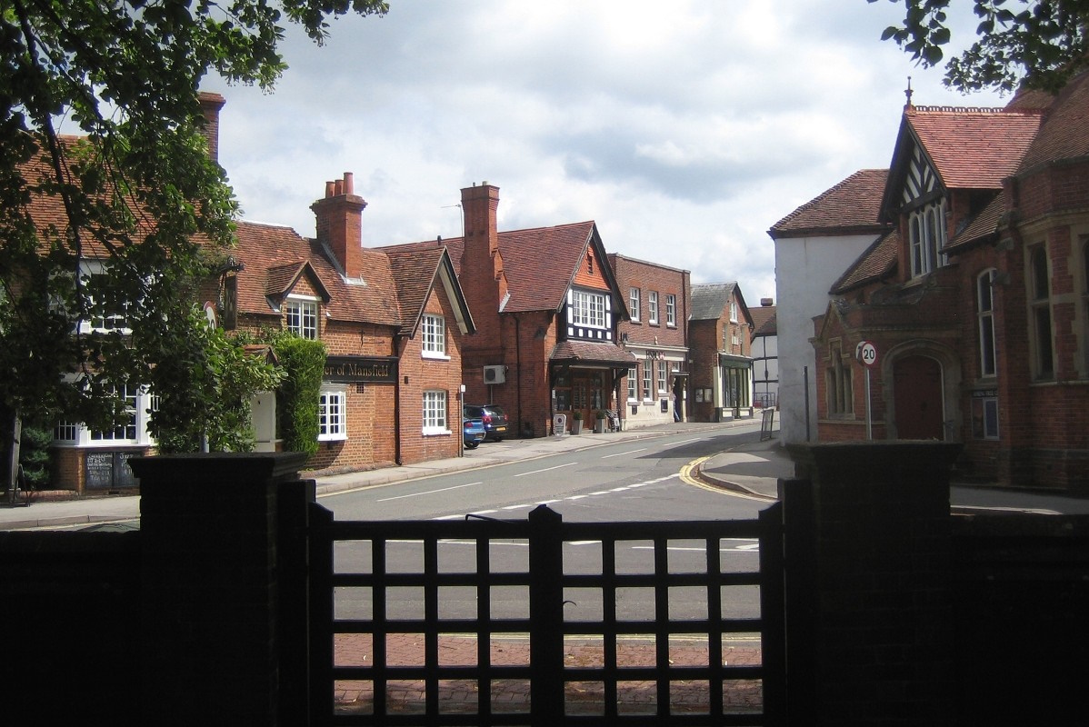
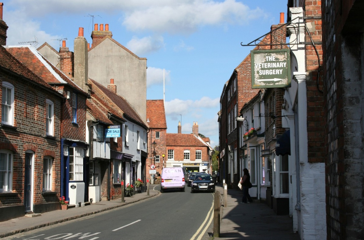
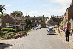
Watlington sits where the B4009 crosses the B480 Henley-on-Thames to Oxford road. As the B4009 takes traffic from junction 6 of the M40 towards Didcot, Wallingford and Abingdon, Watlington does suffer with traffic. Its narrow streets were just not designed to cope with modern traffic, hence it does suffer a lot of congestion. Despite the traffic Watlington is well worth a visit. In the centre is the dominating 17th century town hall and many historic buildings dating back to that period and a fine selection of small shops. The village's position at the foot of the Chilterns and on the edge of the Vale of Oxford adds to its character as there are some Chilterns-style flint buildings here as well as timber framed and thatched cottages, although most of the buildings are built of brick. In all Watlington is a very attractive village. The parish church is St. Leonards is just off the Cuxham road. Much of the present church is Victorian although there are a few remains from the original Norman church. The area around Watlington is a perfect place to watch red kites soaring overhead. These distinctive birds of prey were re-introduced to the Chilterns from Spain in 1989-1994. Watlington is about 7 miles south of Thame. |
|
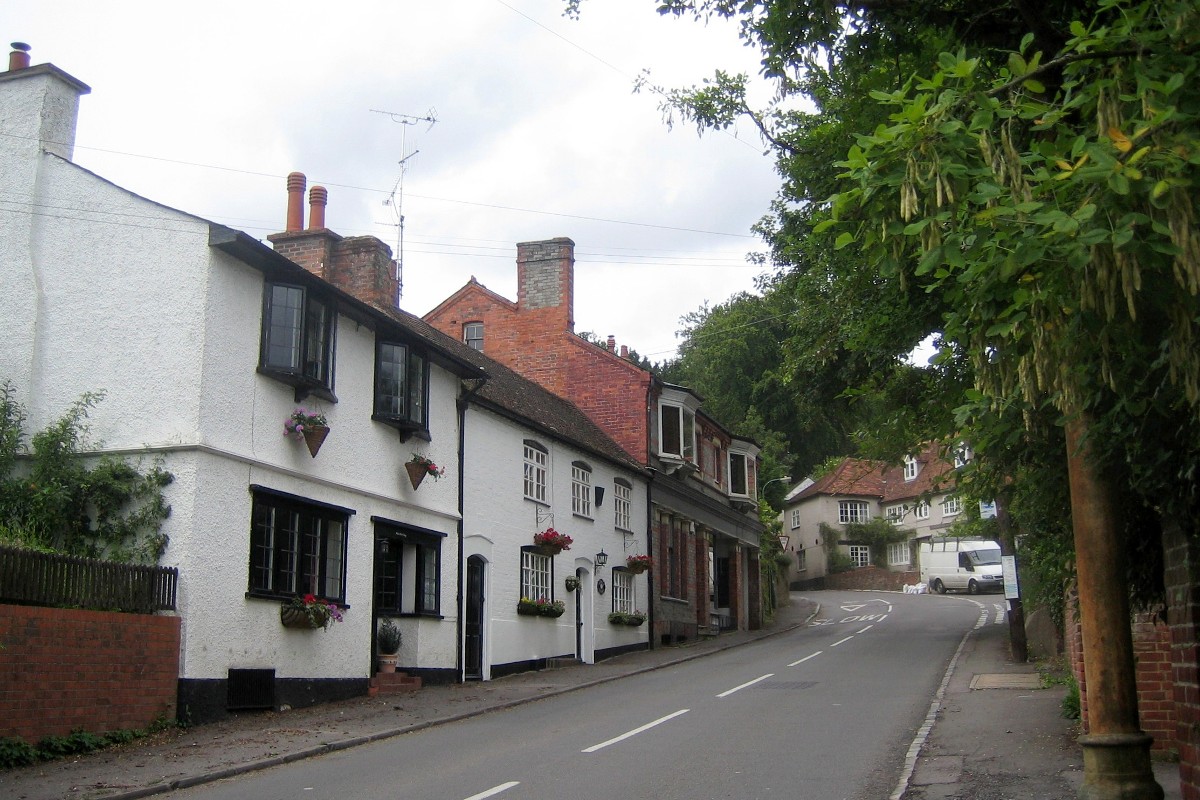
Whitchurch-on-Thames is about 5.5 miles north-west of Reading, about half way between Reading and Goring. |