|
MARSH BALDON AND TOOT BALDON
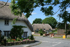
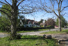
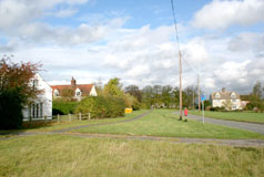
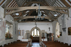
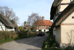
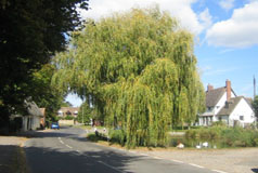
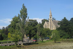
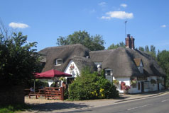
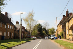
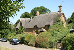
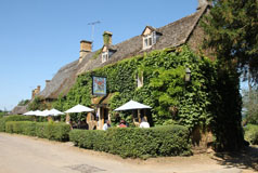
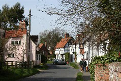
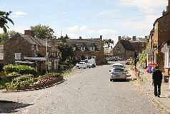
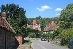
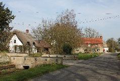
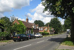
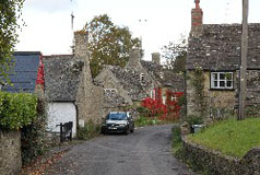
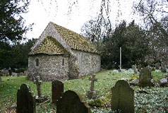
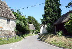
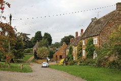
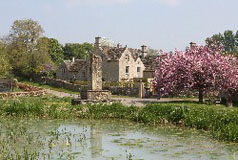
Nuneham Courtenay on the A4074 you pass the 17th century Baldon House and the mainly 14/15th century St. Peter's Church, and then you pass through a gate (which I have never found to be closed). Most of Marsh Baldon is then spread before you around the large village green, complete with a cricket table, with a number of interesting old houses all around. The village pub is on one side. St. Peter's Church was originally built by the monks from Dorchester. The tower has an unusual design with a square base that changes to an octagon at belfry level. It is thought it was designed in this way to support a steeple which was never built. For the history and full information about St. Peter's Church click here. A footpath links the village with the tiny hamlet of Baldon Row. Three quarters of a mile or so further on is the small village of Toot Baldon which, like several of the nearby villages, is situated on a small ridge of a hill, part of the Midvale Ridge. The name Toot originally meant a look-out hill and it belonged to a man called Bealda. St. Peter's Church The early 13th century St. Lawrence's Church at Toot Baldon can be reached directly from the village along an avenue of horse chestnut trees or on foot via a short path from Baldon Row. From the churchyard the fine view out over the Oxfordshire countryside emphasises the village's hill-top position. For the history and full information about St. Lawrence's Church click here. The manor house at Toot Baldon is Jacobean. The Baldons are situated between the A4074 and the B480 about 4 miles south-east of Oxford. |
|


